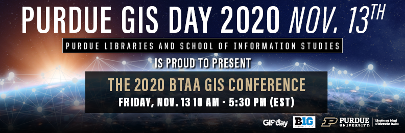
2020 GIS Day Conference
Schedule
Concurrent Presentations
10:00 – 11:30 am EST / 9:00 – 10:30 am CST
HUMANITIES AND SOCIAL SCIENCES
Mapping Prejudice: Cartographic Activism and Primary Sources
Ryan Mattke, Map & Geospatial Information Librarian and Head of the John R. Borchert Map Library, University of Minnesota
Homegoing: The Technology of Living Spatial Data and Black Public Mourning in the Age of COVID-19
Ryan Mattke, Map & Geospatial Information Librarian and Head of the John R. Borchert Map Library, University of Minnesota
Shaking Up Small Business: The Impact of Seismic Retrofitting on Small Businesses in 3 San Francisco Supervisor Districts
Lauren Ashley Week, University of Michigan, San Francisco Office of Small Business
Twitter Data for Social Science Research
Guangqing Chi, Professor of Rural Sociology, Demography, and Public Health Sciences, Penn State University
AGRICULTURE AND NATURAL SCIENCES
Understanding the Disturbance of Human Recreation on Wildlife using Multiple Dynamic Agents within an IBM Framework
Soraida Garcia, Purdue University
Deforestation in the Agricultural Landscape: Impacts on Water Quality in Indiana
Shourish Chakravarty, Yangyang Wang, Mo Zhou, Purdue University
Assessing soybean stands with sUAS
Richard M. Smith, Shaun Casteel, Purdue University
Development of soil and land cover databases for hydrologic modeling in Arequipa, Peru
Fariborz Daneshvar, Jane Frankenberger, Laura Bowling, Keith Cherkauer, Johann Alexander Vera Mercado, Purdue University
Martin Juan C. Villalta Soto, Universidad Nacional de San Agustin
GIS INFRASTRUCTURE
A quick tour of our Nation’s Geodetic Infrastructure
Jeff Jalbrzikowski, Ohio State University
GIS in Interesting Times: An ArcGIS Enterprise Deployment by Purdue University Physical Facilities
Anna C Burman, Angela Slocum, Mark Hickman, Dean Romack, Purdue University
Campus Waste Map – A Web of Connections
Travis Blomberg, University Of Wisconsin – Madison
Dimensions of Poverty in Midwestern States
Andrey V. Zhalnin, Lionel J. Beaulieu, Indraneel Kumar, Benjamin St. Germain, Center for Regional Development, Purdue University
Yong J. Kim, Korea Environment Institute
Break
11:30 – 11:50 am EST / 10:30 – 10:50 am CST
Lightning Talks
11:50 am – 12:30 pm EST / 10:50 – 11:30 am CST
What is geodesy and why is it important to you?
Jeff Jalbrzikowski, Ohio State University
Impact of Emerald Ash Borer and Forest Structure on Understory Plant Invasion
Jessica M. Elliott, Elizabeth LaRue, Songlin Fei, Purdue University
Joey Gallion, Indiana Department of Natural Resources
Geospatial analysis of light pollution and house vacancy during the COVID-19 outbreak
Qing Su, Jie Shan, Purdue University
Managing GIS student engagement projects: a sustainable approach
Tara Anthony, Penn State University
Using cell phone data to track social distancing during COVID-19 pandemic: the case of Chicago
Yujia Zhu, Jie Shan, Purdue University
Lunch Break
12:30 – 2:00 pm EST / 11:30 am – 1:00 pm CST
Keynote and Presentations
2:00 – 3:20 pm EST / 1:00 – 2:20 pm CST
Keynote
Spatial Data Science: Turning Big Spatial Data to Timely Action
Dr. Orhun Aydin, Senior Researcher, Esri
The BTAA Geospatial Data Project & Geoportal
Karen Majewicz, University of Minnesota
5 forces 5 trends 5 skills – in GIS
Dr. Joseph Kerski, Education Manager, Esri
Break
3:20 – 3:30 pm EST / 2:20 – 2:30 pm CST
Social Hours
3:30 – 4:30 pm EST / 2:30 – 3:30 pm CST
GIS Education Programs in Big Ten
Coordinator: Nathan Piekielek, Penn State University
Featured Programs
- Online Geospatial Programs, Penn State
- Geodesign, Penn State
- B.S. GIS, University of Minnesota-Duluth
- Master of Geographic Information Science, University of Minnesota Graduate Certificate in GIS, Purdue
- Geodata Science for Professionals, Purdue
- Online Spatial Data Science Certificate, Purdue
GIS Career Discussion
Join this social hour to discuss GIS career options with GIS professionals in private and public sectors, including Esri, State Government organizations. More detailed panelists will be updated on the BTAA GIS Conference website.
Mapathon
3:45 – 5:30 pm EST / 2:45 – 4:30 pm CST
Open Humanitarian Street Mapping Mapathon
Coordinator: Amanda Tickner, Michigan State UniversityCelebrate GIS Day by participating in a humanitarian mapping project, no GIS experience needed! Join us in creating map data to aid a humanitarian project. There will be someone on hand to answer questions and help get you started. For more information see the HTOSM main page: https://www.hotosm.org/