Geographic Information Systems Services
GIS (Geographic Information Systems) Services @ Purdue
GIS Support and Resources for Online Learning and Off Campus Research
* All web-based ESRI Virtual Campus Courses can be accessed by the Purdue University site license with ESRI. Check out the ESRI training page to find your interested courses. Contact us for an access code to take these course for free! Please include the course name and your status at Purdue when you contact us for the course access code.
Recent Projects/Events
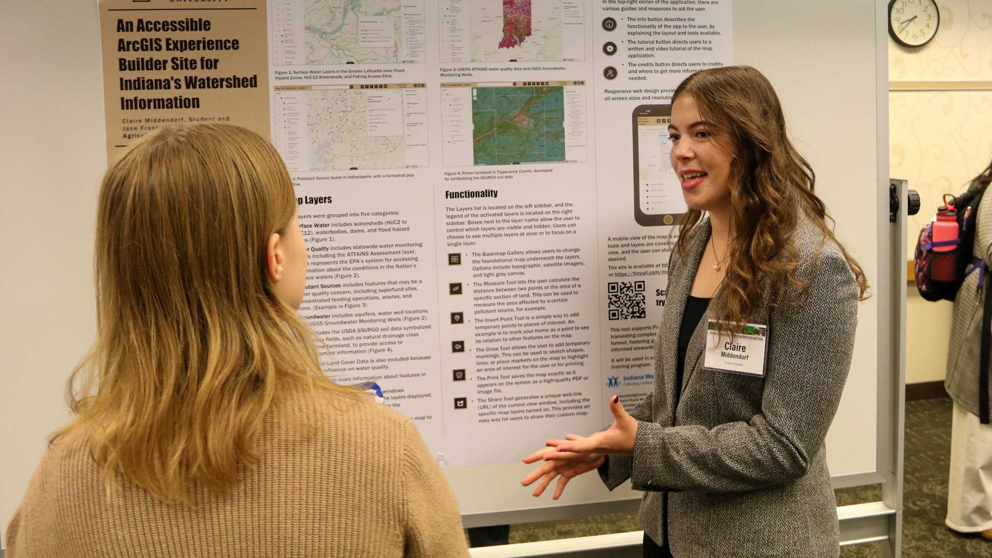
GIS Day Celebration

At Purdue, GIS Day is a celebration of GIS research and application across desciplines. The libraries works with the GIS community on campus to organize this event each November. GIS Day brings opportunity to learn about updates of GIS related research in different areas from Agriculture, Engineering, to Liberal Arts. Past GIS Day documents.
Research Data Gallery @ Purdue
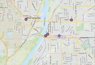
Geospatial information has been adopted in various areas of research at Purdue. The libraries works with different Purdue researchers to curate, visualize, and disseminate the information they have generated in their projects. Some examples include: Flood Map, Early American Periodical Illustration, Early African American Student Experiences with Housing Segregation in West Lafayette
Contact Us
Innocensia Owuor is the GIS specialist at Purdue University Libraries, and is the primary contact for all issues related to the use of GIS software, geodatabase, and GIS online services, in general. Please contact: geohelp@purdue.edu with your Purdue email account or call 765-496-9474.